Geonex turns any Android or iOS phone into a professional-grade GIS field tool. Capture points, lines and polygons, convert between coordinate systems on the fly, and keep your whole team working on the same cloud layers — whether you're mapping a parcel, a pit, a pipeline, a field, or a fleet route.
Built for teams working in
Geonex adapts to the way different industries actually work outdoors — not a generic map viewer, but a toolkit for people who capture, convert and share spatial data for a living.
Collect precise point, line and polygon data in any coordinate system, straight from the field.
Explore surveying tools → MiningMap pit boundaries, haul roads and stockpiles, and calculate area instantly on site.
Explore mining tools → UtilitiesRecord poles, transformers, valves and pipeline routes with accurate, shareable coordinates.
Explore utility tools → AgricultureWalk or drive a field boundary and get instant area, perimeter and exportable field maps.
Explore agriculture tools → LogisticsCapture depot, route and delivery-point coordinates and keep dispatch teams in sync.
Explore logistics tools →From a single point lookup to a shared, multi-layer cloud project — Geonex covers the full field workflow.
Capture field data directly on the map with precise coordinates, elevation, and custom attribute fields you define yourself.
Save layers and photos to the cloud and work on the same data with your whole team, in real time, from different devices.
Convert coordinates between World WGS84 and Indonesia-specific systems — by hand or in batches of up to 1,000 rows from Excel.
Draw a boundary or a route on the map and get instant area, perimeter, and segment-by-segment distance readouts.
Take your data anywhere — export any layer as a KML file for GIS software or as a ready-to-use Excel workbook.
Search by address or drop a pin to see elevation and distance to your current position — unlimited for Pro subscribers.
Geonex was built so a new team member can be collecting usable data within minutes of opening the app.
Choose your country and reference system once — every tool in the app follows it automatically from then on.
Walk to a point, tap to add it, or drop a pin anywhere on the map. Lines and polygons work the same way.
Transform coordinates between systems, or get instant area and distance figures — no separate calculator required.
Push your layer to the cloud, grant teammates read or edit access, and keep everyone working from one source of truth.
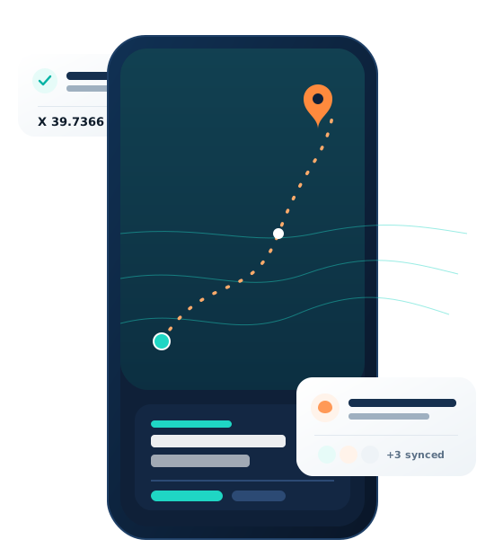
Geonex Pro's cloud layers let a whole crew work on the same point, line and polygon data at once. Invite a teammate by email, choose read-only or edit access per layer, and every change syncs instantly — no more emailing files back and forth or reconciling conflicting versions at the end of the day.
Geonex is free to use for local, on-device coordinate collection. Geonex Pro unlocks cloud layers, team collaboration, unlimited lookups, and removes ads.
Everything you need to collect, convert and measure coordinates on a single device.
For teams and professionals who need the cloud, collaboration, and no limits.
Available soon on Google Play and the App Store. Leave your details and we'll notify you at launch.
From the Settings screen, you can set your default coordinate system to World – WGS84, World – WGS84 UTM 6, Indonesia – 1974 UTM 6, or Indonesia – DGN 1995 TM3. Once set, every tool — collection, search, conversion and measurement — follows that system automatically. More systems are added over time.
Yes. Local, on-device collection works fully offline. Cloud layers are designed to be captured offline in the field and synced automatically the next time you have a connection.
Yes — that's what Geonex Pro's cloud layers are for. Share a layer with a teammate's registered email, choose read-only or edit permission, and everyone sees updates in real time.
Any layer or coordinate list can be exported to KML (for use in Google Earth or other GIS software) or to an Excel (XLSX) workbook, ready to share by email.
Yes. Because Geonex is built around coordinates, measurement and layer sharing rather than one narrow workflow, teams in mining, utilities, agriculture and logistics all use it for field mapping, asset tracking and area calculation. See our industry pages for details.
 Geonex